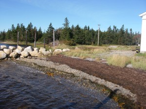
 Location: North West HarbourÂ
Shoreline: beach stone
Type of access: gravel road
Parking: yes
Government wharf: no
Public slipway: no, permission by owners
 Gravel access
Topographic reference: 20p/11(Lockeport)
Marine chart # 4241(Lockeport-Cape Sable)
UTM grid: E0305208 Â N4825313
Latitude: N 43° 34.262′ /Longitude:W 65° 24.874′
Name of owner: Kelly’s Boat Builders
March 2025 M T W T F S S 1 2 3 4 5 6 7 8 9 10 11 12 13 14 15 16 17 18 19 20 21 22 23 24 25 26 27 28 29 30 31 -
Recent Posts
Archives
Categories
