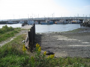
 Location: Lower East Pubnico Wharf
Shoreline: gravel
Type of access: paved road to wharf
Parking: yes
Government wharf: yes
Public concrete ramp: gravel access
Topographic reference: 20p/12 (Pubnico)
Marine chart # 4210 (Cape Sable to Pubnico Harbour)
UTM grid: E0275989 Â N4831620
Latitude: N 43° 36.352′ / Longitude: W 65° 46.499′
Public access
Groceries, hot/cold drinks, ATM machine are all available at East Pubnico convenient Store.
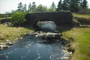
Located in Lower East Pubnico is a very interesting landmark, an arch shaped stone bridge,  built over Hipson’s Brook, this makes a good rest stop as you are traveling on the #3 highway. Recently a Fisherman’s Memorial has been put here.
A picnic table and stone fireplace are located here, there are no other facilities.   The brook here runs out into the East Pubnico Harbour but does not make for a good access.
