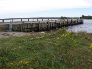
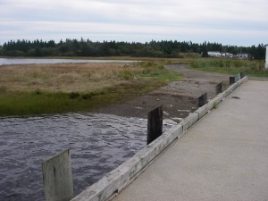
22. Hubbards Point

 Â
Location: Chemin de la Pointe Road
Shoreline: mixed
Type of access: gravel road, pot holes, road to wharf is hidden by a house with a lot of older vehicles in yard. You may need to ask directions.
Parking: yes
Government wharf: no
Public slipway: no
Public concrete ramp: concrete and gravel access
Topographic reference: 20 p/13 ( Tusket)
Marine chart # 4244 (Wedgeport and vicinity)
UTM grid: E0259626 (60)Â Â N4858057 (58)
Latitude:Â Â Â Â Longitude:
Name of owner: Hubbards Point and Area Community Development Association
Public access
