 Location: East Ragged Island
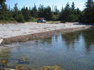
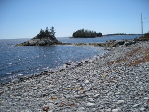
Shoreline: beach stone
Type of access: gravel road
Parking: very little parking space, a good drop off, pick up site. Road to slipway is hidden by trees, located on right just before Hagar mailbox.
Government wharf: no
Public slipway: old public slipway being repaired
Public concrete ramp: no
Topographic reference: 20 p/11 (Lockeport)
Marine chart #:4209 (Lockeport and Shelburne Harbour)
UTM grid:Â E0332698 Â N4839952
Latitude: 43° 41.777′ N/Longitude: 65° 04.521′ W
Paddlers beware of dangerous ledges and breakers in the area off Hemeons Head, Black Point and Western Head. This coast is very exposed to southeasterly winds.
