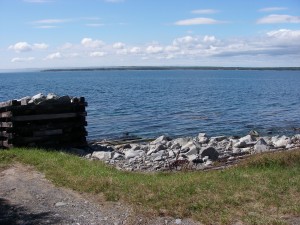
86. West Green Harbour
 Â
Location: Shore Road (turn left just before Scott’s Road to site)
Shoreline: rocky
Type of access: gravel road to shore
Parking: limited parking available
Government wharf: remains of old government wharf
Topographic reference: 20p/11(Lockeport)
Marine chart #: 4241 (Lockeport-Cape Sable)
UTM grid: E0323783 Â N4841773
Latitude: N 43° 42.594’/Longitude : W 65° 11.182′
This site is best used as an alternative to paddling around the headlands to East Green Harbour,launching could be difficult here on a windy day and low tide.
