 Location: d’Entremont’s Road
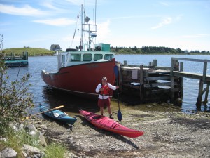
Shoreline: mixed
Type of access: gravel road
Parking: yes
Government wharf: yes
Public slipway: yes
Public concrete ramp: yes
Topographic reference:20p/11(Lockeport)
Marine chart # 4241 (Lockeport-Cape sable)
UTM grid: E0319330 Â N4838726
Latitude: 43° 40.893′ N/Longitude:65° 14.466′ W
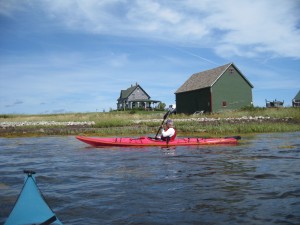
Jordan Bay and Jordan Ferry are both very interesting and scenic paddling. Pack a picnic lunch and take time to enjoy paddling around Lockes Island on a fine day. Locke’s Island older homestead boasts a very picturesque setting for the movie Virginia’s Run
