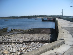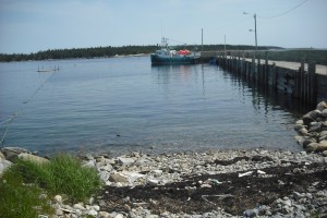
 Location: Prospect Point Road
Shoreline: rocky
Type of access: gravel road
Parking: limited parking
Government wharf: yes
Public slipway: no
Public concrete ramp: gravel access
Topographic reference: 20 p/5 (Cape Sable Island )
Marine chart # 4210 (Cape Sable-Pubnico Harbour)
UTM grid: E0280066 Â N4818730
Latitude: N 43° 29.466’/Longitude: W 65° 43.156′
Shag Harbour Wharf and Prospect Point Wharf are both excellent access points to paddle to the nearby islands, Inner Island, Stoddart Island, and Outer Island (Bon Portage Island) making for an interesting day or overnight trip.
