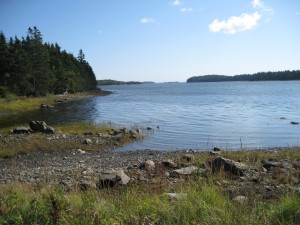
 Location: The Sluice
Shoreline: rocky
Type of access: narrow gravel road
Parking: limited parking, secluded area
Government wharf: no
Public slipway: no
Public concrete ramp:Â gravel public access
Topographic reference: 20 p/13 (Tusket)
Marine chart # 4244 (Wedgeport and vicinity)
UTM grid: E0267779 Â N4849924
Latitude: N- 43° 46.067 / Longitude: W-65° 53.076
Public access
Â
There are 2 launch sites on Roberts Island one site at the bridge and the other site 3.2 kil from the bridge on a gravel road, keep right to get to the sluice.
Keep in mind there are no services available on Roberts Island.
